-
 Alice Springs Campervan rental and 4wd camper hire Northern Territory Australia
Fast Interesting Facts:
Alice Springs is located within the Northern Territory (NT), and is the second largest population centre after the NT's capital, Darwin.
Alice Springs is often regarded as the capital of the outback or red centre as we say. Alice Springs is just major town and service centre for an area that�s roughly the size of let's say Texas!
Population: App. 30,000
Alice Springs elevation: 548 metres above sea level
Alice Springs is named after Alice Todd, wife of the Superintendent of Telegraphs, Sir Charles Todd.
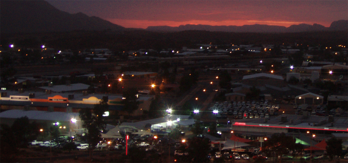
Alice Springs is nearly equidistant from Adelaide and Darwin. The town straddles the usually dry Todd River on the northern side of the MacDonnell Ranges. The surrounding region is known as Central Australia, or the Red Centre, an arid environment consisting of several different deserts.
Is it safe in Alice Springs? The German government advises its tourists in Alice Springs to be careful after dark. I lived there in 1996-2000 and after dark I know (from many experiences) it's not safer to wander around alone after 10pm say walk back from the Mall to the gap's caravan park. During the day it seemed fine. But in saying that all cities be wary walking back after 10pm anywhere it's just common sense.
Afghan Cameleers forged their place in Central Australian history, driving their camel trains 600 km across the desert to deliver essential provisions from the railhead at Oodnadatta to Alice Springs. �Their contribution to the opening up and accessibility of the great mass of inland Australia was enormous and vital. Large populations of feral camels in Australia. There are approximately 1 to 1.2 million feral camels in Australia, and their numbers are thought to be doubling every 8-9 years.
See our other new 2019 Alice Springs 4wd camper hire range | See our new 2019 Alice Springs 4wd and 4wd camper trailer hire range | See our new 2019 Alice Springs 4wd car with towbar range |
Campervan branch locations in and around Alice Springs
-
Branch location details for Apollo and Cheapa
220 Stuart Highway, Alice Springs NT 0870 Australia
Instant vehicle hire quote Email us 4WD range Motorhome range
The Alice Springs Branch is approximately 18 kilometres from the Airport and 4.1 kilometres from the City. It is accessible by taxi or uber; transfers are not available to/from the airport/city.
There is no customer parking available inside the grounds of our branch, but there is secure parking available at Alice Springs Airport Parking, Santa Teresa Road, Alice Springs (18km from the branch)
Branch: The Alice Springs Britz branch is equipped with everything you need to start and end your trip in the best way possible. Toilets, Free unlimited WiFi, Power outlets for charging your devices, Filtered drinking water, Local staff on hand to give suggestions and tips on great places to go and things to see, Luggage storage
Opening Hour: see your quotes summary of terms for hours
Phone Us: Local 1800 107 371 | International + 61 8 7999 7511 -
Branch location details for Britz, Maui, Mighty
220 Stuart Highway, Alice Springs NT 0870 Australia
Instant vehicle hire quote Email us 4WD range Motorhome range
The Alice Springs Branch is approximately 18 kilometres from the Airport and 4.1 kilometres from the City. It is accessible by taxi or uber; transfers are not available to/from the airport/city.
There is no customer parking available inside the grounds of our branch, but there is secure parking available at Alice Springs Airport Parking, Santa Teresa Road, Alice Springs (18km from the branch)
Branch: The Alice Springs Britz branch is equipped with everything you need to start and end your trip in the best way possible. Toilets, Free unlimited WiFi, Power outlets for charging your devices, Filtered drinking water, Local staff on hand to give suggestions and tips on great places to go and things to see, Luggage storage
Opening Hour: see your quotes summary of terms for hours
Phone Us: Local 1800 107 371 | International + 61 8 7999 7511
-
Alice Springs 4WD Accessories and Tyre repair
Kmart Tyre & Auto Service Alice Springs Kmart Tyre & Auto Service Alice Springs
Camping accessories - KMart Alice Springs 50 Bath St, Alice Springs NT 0870, Australia
Banks and Post Office in Alice Springs Australia
CBA and bendigo Bnaks at Yeperenye Shopping Centre Address: 40 Hartley St, Alice Springs
Australia Post 33 Hartley St, Alice Springs NT 0870, Australia
Shopping in Alice Springs
Woolworths at Yeperenye Shopping Centre Address: 40 Hartley St, Alice Springs NT 0870, Australia
Northside Foodland 3 Hearne Place Alice Springs Phone: 08 8952 2988 -
Our Recommended Tourist Van Parks and Camping Grounds
We know from experience you should book many months ahead
BIG 4 - MacDonald Range Caravan Park Heavitree Gap-Palm Circuit
Alice Springs Tourist Park Larapinta Drive, Alice Springs
Accommodation Booking and Special Deals at Wotif
-
Our Recommended Resorts, Hotels, Motels, Budget accommodation
Desert Palms Alice Springs (3-star hotel) 74 Barrett Dr, Alice Springs
The Diplomat Motel (4-star hotel) 20 Gregory Terrace, Alice Springs
DoubleTree by Hilton Hotel (4-star hotel) 82 Barrett Dr, Alice Springs
• Accommodation Booking and Special Deals at Wotif -
 Alice Springs to Adelaide
 -
 Alice Springs to Darwin
 -
 Alice Springs to Uluru
 -

Australia 4 Wheel Drive Rentals
Anzac Hill - Anzac Hill a popular tourist destination is open 24 hours but suggest dawn to dusk only for viewing. You will find the Anzac Hill Memorial that commemorates and honors all the men and women who fought in the great wars which Australia has participated. Each year a dawn service is held here on Anzac Day.
Alice Springs Desert Park - Alice Springs Desert Park Alice Springs Desert Park is only seven kilometres from the centre of Alice Springs. Located on Larapinta Drive, Alice Springs, Northern Territory 0870. Driving When driving travel west of the town centre on Larapinta Drive for 6km where you will find the entrance of the Desert Park. Free vehicle and coach parking. Walking or cycling A shared walking and cycle path starts at Blain Street (off Larapinta Drive). Travel along the Larapinta Drive path from the town centre, turn at Blain Street (opposite the Diarama Village) where you will join the pathway with a total of 2.8km. Alternatively, continue to travel along the Larapinta Drive path and join the Desert Park cycle path opposite Albrecht Oval with a 900m of sealed path bringing to the Desert Park entrance. If you are travelling along the Simpsons Gap bike path and entering the Desert Park from the west, join the pathway from Flynns Grave and take the path for 2.4km before arriving at the Desert Park. Get the bicycle and pedestrian path map (1.3 mb) to plan your journey. Explore other bicycling paths in Alice Springs (3.2 mb). Public bus Take route 400 to Albrecht Drive then take a 20 to 25 minute walk to the Desert Park. View the timetable or phone (08) 952 5611. Transfer service A daily return transfer service is available with Alice Wanderer or phone (08) 8952 2111.
Alice Springs Reptile Centre � Alice Springs Reptile Centre home to the largest reptile display in Central Australia. We display an extensive range of reptiles including Terry the Saltwater Crocodile, HUGE Perentie Goannas, Thorny Devils, Frill-neck Lizards and many other fascinating lizards including a varied selection of NT Geckos from the Alice Springs region, Barkly and the Top End on display in the amazing Gecko Cave. The daily show is not to be missed. Each day at 11am, 1pm and 3.30pm the show includes a fun and informative talk on selected lizards and pythons followed by a supervised handling session. 9 Stuart Terrace Alice Springs Northern Territory 0870
School of the Air in Alice Springs - The Alice Springs School of the Air is a distance education organisation based in Alice Springs which provides teaching, education materials and personal communication for remote children in the Northern Territory outback of Australia. Visitor Centre. 80 Head Street, Alice Springs NT 0870. T. +61 8 8951 6834.
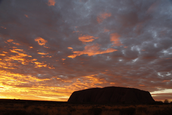
Uluru - Uluru, also known as Ayers Rock Welcome to Aboriginal land Pukulngalya yanama, Ananguku Ngurakutu (welcome greeting in Yankunytjatjara) Pukulpa Pitjama, Ananguku Ngurakutu (welcome greeting in Pitjantjatjara). Uluru-Kata Tjuta National Park is a world-class visitor destination and a key part of Australia's iconic Red Centre. This living cultural landscape is the physical and metaphoric heart of Australia, and was one of the first areas to be identified as a National Landscape. Uluru Kata Tjuta - Travel guide for the promotion of Aboriginal cultural tourism in AustraliaAyers Rock Uluru, also referred to as Ayers Rock (often mis-spelt as Ayres Rock), is a large sandstone rock formation in the southern part of the Northern Territory, central Australia. It lies 335 km (208 ml) south west of the nearest large town, Alice Springs; 450 km (280 ml) by road. Kata Tjuta (The Olgas) and Uluru are the two major features of the Uluru - Kata Tjuta National Park . Uluru is sacred to the Pitjantjatjara and Yankunytjatjara, the Aboriginal people of the area
Kata Tjuta - The ancient desert landscape of Australia�s Red Centre is home to natural wonder and cultural landmark, Kata Tjuta The Olgas. Estimated to be over 500 million years old, the 32 weathered rock domes that are Kata Tjuta sit 40 kilometres to the west of Uluru/Ayers Rock. Kata Tjuta/The Olgas represents nature on a monumental scale, with the cluster�s tallest peak being 200m higher than Uluru!
Kings Canyon - Kings Canyon is located in the Watarrka National Park , synonymous with Kings Canyon, includes the western end of the George Gill Range. The cooler months (April to September) are the most pleasant. Overnight camping in tents or campervans is not permitted in the National Park .
Outer Mereenie Loop - The 4WD Dirt Offroad Tracks and Unsealed Roads of Central Australia Mereenie Loop Road (Now part of the Red Centre Way). Mereenie Loop Update 28.06.2017: I just rang Glen helen Homestead and was told the 145klm road from Glen Helen to Kings Canyon part of the Mereenie Loop is still not sealed and is a dirt road still.
Gemtree - Gemtree is the gateway to the ancient gem fields of Central Australia. Experience the thrill of fossicking for your own gems - hidden by mother nature for millions of years! Gemtree Caravan Park is located 140kms North-East of Alice Springs, with bitumen road to the front gate! Travel northbound 70 kilometres from Alice Springs and turn right onto the Plenty Highway and travel for another 70 kilometres.
West and East MacDonnell Ranges - The East and West MacDonnell Ranges: The East and West MacDonnell Ranges stretch out for hundreds of kilometres on both sides of Alice Springs. The traditional owners of the Alice Springs area, the Arrernte people, believe giant caterpillars called the Yeperenye became the Ranges - they entered this world through one of the dramatic gaps in the escarpments of the area. The panoramic landscapes of the West MacDonnell Ranges are easily accessed from Alice Springs. Each of the West MacDonnell Ranges chasms and gorges has its own unique character and scenery. Simpsons Gap sports a permanent pool and rock wallabies live in the gap's rocky ridges. Standley Chasm lights up in fiery colours reflected by the overhead sun at midday. Picturesque swimming holes such as Ellery Creek Big Hole, Ormiston Gorge, Glen Helen Gorge and Redbank Gorge offer refreshing relief on a scorching day. It is also possible to visit the Ochre Pits that desert Aboriginal people once used as a quarry for ochre pigments. The East MacDonnell Ranges, while not as well known as the West MacDonnell Ranges, do provide beautiful scenery for bush walking, camping and four-wheel-driving. Visit Arltunga, a ghost town that was the site of a gold rush in the 1930's. Other places of spectacular natural beauty like Trephina Gorge, make a trip to the East MacDonnell Ranges more than worthwhile.
Chambers Pillar - Chambers Pillar Historical Reserve, located 160 kilometres from Alice Springs, is home to Chambers Pillar, a spectacular solitary column towering 40 metres above the Simpson Desert plain. Chambers Pillar was formed from sandstone deposited and worn down over 340 million years. This landmark was very important in guiding the region�s earliest pioneers and is at its spectacular best at sunrise and sunset. John MacDouall Stuart, heading north on his earliest attempt to cross Australia, first recorded the pillar in April 1860 and named it after James Chambers, one of his South Australian sponsors. A high clearance four-wheel drive is required to access Chambers Pillar. Camping is permitted (fees apply), and there are ranger guided talks available between May and October. (Some 4wd suppliers won't let their hire vehicles there)
Rainbow Valley - How to get there: The turn-off to the Reserve is 75 km south from Alice Springs along the Stuart Highway. From here it is a 22 km stretch east, along an unsealed road which has some sandy patches. For this reason, access is recommended for 4WD vehicles only. When to visit: The Reserve is accessible all year round, with the cooler months from April to September being the most pleasant.
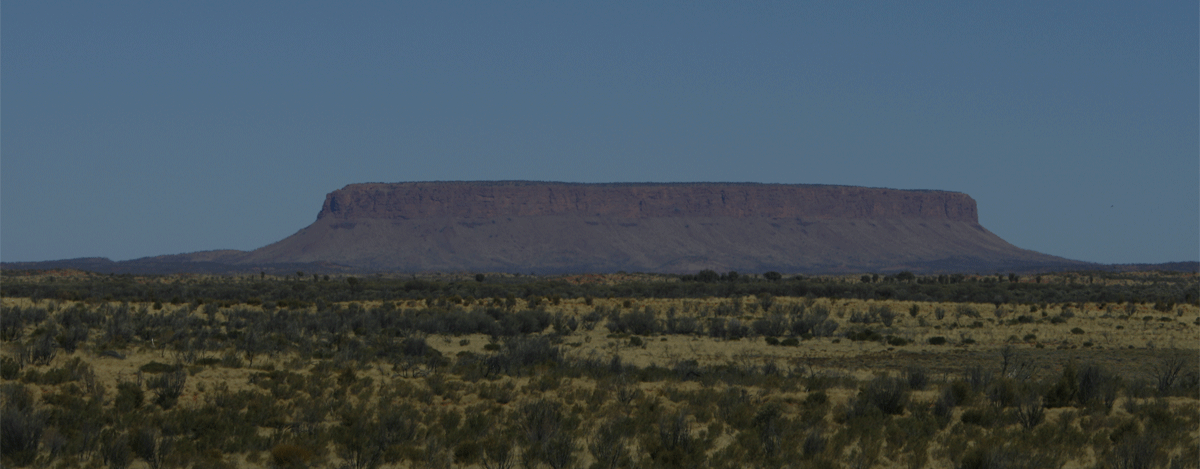
Mt Connor - On the way Mt Connor to be viewed from the highway in Northern Territory, Central Australia. Mount Conner, also known as Attila and Artilla and occasionally found as Mount Connor, is an Australian mountain located in the southwest corner of the Northern Territory, 75 kilometres (47 mi) southeast of Lake Amadeus at the border of the vast Curtin Springs cattle station. It reaches to 859 metres (2,818 ft)[1] above sea level and to 300 metres (984 ft) above ground level. Mount Conner is a flat-topped and horseshoe-shaped inselberg, part of the same vast rocky substrate thought to be beneath Uluru/Ayers Rock and Kata Tjuta/Olgas.
Wishing to complete your travel plan and needing to book a 4wd camper, motorhome or campervan in Broome then Get a instant quote now as our database is easy to navigate, easy to use and safe automated online booking engine. When it comes to renting a 4wd camper, 4wd car and 4wd with camping gear in Broome or say a capital state city then there's one brand you can truly trust.
Get a instant quote now or email us or fill in a quote request
Credits| http://www.visitbroome.com.au

-
 Start 4wd hire or campervan rental from Darwin
Start from Darwin Australia travel loop or one way plan
Start Darwin -
 Start 4wd hire or campervan rental from Broome
Start from Broome and go one way to Perth or Darwin
Start Broome -
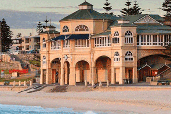 Start from your camper hire or 4wd rental from Perth
Start Perth do loop or one way to Broome or Adelaide
Start Perth -
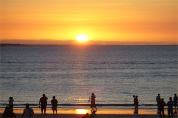 Start from your 4wd camper hire from Alice Springs
Our campers or motorhome are only from Alice Springs
Start Alice Springs -
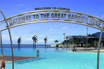 Start from your camper hire or 4wd rentals from Cairns
Start from Cairns and travel south along the East Coast
Start Cairns -
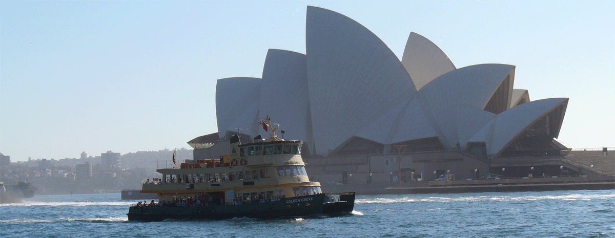

Key tourism destinations for 2wd sealed road driving in AustraliaTravel Plan your next yearly holiday or vacation and start from Sydney, Melbourne, Hobart, Adelaide, Sydney or Brisbane and even Cairns. Travel one way in a self drive motorhome rentals across Australia at your own leisure and comfort. Cook what you want, stop when you want, even for that birding photo that you have to wait 20 minutes to snap. It's you holiday so if you don't want to part of a guide on a tight schedule and guided then the option is a motorhome hire and where else to search but here at Australia 4 Wheel Drive Rentals. Sure our name says 4wd rental hire but honestly we established so long ago and have built up a trusted brand we figured why change it.
Get a instant motorhome or 4wd camper quote or email us or AUSTRALIA 4 WHEEL DRIVE RENTALS fill in a quote request
-
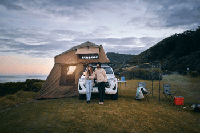 4wd with tents
Great for Gibb River Road
4wd campers with roof/ground tent -
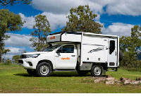 4wd campers
Great for Kakadu 4wd trips
4wd campers 2 sleep inside -
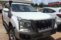 4wd car
4wd and stay at Safari camps
4wd cars unsleaded roads -
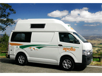 Camper Hitops
2 to 4 Berth budget campervans
Campervan hire -
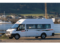 Motorhomes
2 Berth toilet | shower | kitchen
Motorhome rentals -
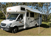 Motorhomes
4-6 Berth toilet | shower | kitchen
Motorhome rentals
-

AUSTRALIA 4 WHEEL DRIVE RENTALSAustralia 4 Wheel Drive Rentals
Australian Business No. 54 561 356 425
Australia 4 Wheel Drive Rentals Group - Registered office: Reichardt Road, Winnellie, 0820 Darwin Australia
Website: https://www.australia4wheeldriverentals.com/
Telephone International: +61 8 7999 7511
Telephone within Australia Toll free: 1800 107 371
Telephone within Australia: 08 7999 7511
Email: [email protected]
Office Hours: Mon-Fri 9am-7pm EST | Sat-Sun 11am-3pm | All Public Holidays closed
Online and internet based specialists.
