-
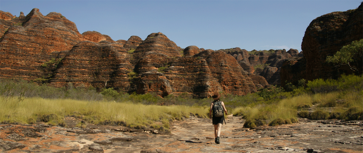
The Bungle Bungles
4wd car hire from Darwin to Broome a road trip and explore the vast outback the the Kimberleys in Western Australia
This page is best viewed on a Destop Computer.
Best season and best months to travel in the Kimberleys:
The perfect time would be July and August (that's based on a heavy prior wet season - tropical monsoon season)
The best time would be mid May till late Novemeber(that's based on a rather 'dry' prior wet season - tropical monsoon season)
Weather & Climate in the Kimberleys:
See the offical Australian Weather site BOM.gov.au
Where to start a Great Northern Highway (sealed road) or Gibb River Road (unselaed road) trip from:
If you wish a 2wd campervan, RV or premium Motorhome to travel on The Great Northern Highway you would start mostl likley from Darwin or Broome oneway (minimum rentals around 10 or 14 calander days) or return shorter rentals.
Note: 2wd campers and 2wd motorhomes have only 2 suppliers in Broome, if you did a loop we can quote mmany more brands and choices.
If you wish a 4wd camper to travel on The Great Northern Highway you would start mostl likley from Darwin or Broome oneway (minimum renatls around 10 or 14 calander days) or return shorter rentals.
Note:We have numerous makes. layouts and models to find you a suitable choice
Australian 4 Wheel Drive Rentals will help you plan your next road trip in Australia and plan your upcoming vacation so you're trip will be a rewarding and relaxing holiday in Australia.
For those Aussies old enough remember the school holiday vacation road trips around Australia in a car and tent or caravan. Well here you can relieve those memorable moments with your family and friends or just yourself.
So get away from Australia sprawling coastline capital cities and explore the great Australian outback then see our Britz and Apollo 4wd campers where you sleep in them.
We will take the leg work out for your search. Here is a one stop search, quote and book website with over 20 years of servicing the 4wd industry in Australia - Read our trip reviews.
-
The Bungle Bungles
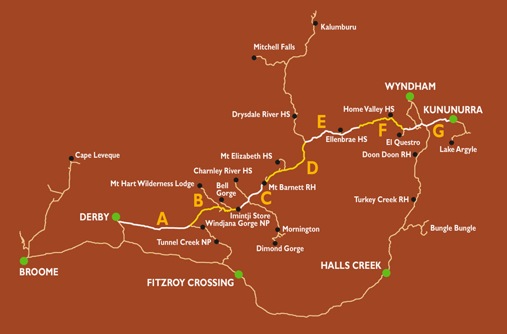
Search here for our 4wd car hire and 4wd camper rentals from Broome or Perth to Darwin or reverse on a road trip and explore the vast outback the the Kimberleys in Western Australia
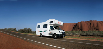
A 2wd campervan and motorhome hire is available from Darwin for Britz, Maui and Apollo | A 2wd campervan and motorhomehire is available from Broome for Britz, Maui
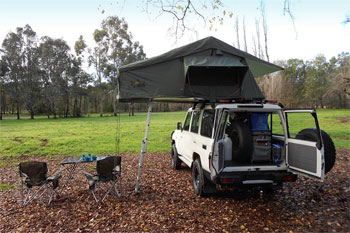
A 4wd camper hire is available from Darwin, perth and Broome for most of our 4wd suppliers<
The Kimberley: Victoria Highway onto the Great Northern Highway
Kununurra
Kununurra is a town in far northern Western Australia located at the eastern extremity of the Kimberley Region approximately 37 kilometres from the border with the Northern Territory.
Horizontal Waterfalls and Air Tours
Kingfisher Tours Location: 305 Dusty Rankin Drive, Kununurra WA 6743 Award winning Kingfisher Tours offers the most unique and complete selection of scenic air and ground tours to all iconic Kimberley destinations. Fly with the locals experts!
The Great Northern Highway
Go west 45 km on the Victoria Highway from Kununarra and turn south onto the Great Northern Highway
Cross the Durham River and 61 km to Doon Doon Roadhouse on the the Great Northern Highway
77 km more til the Crocodile Hole turnoff
Argyle Diamond is further on the right (NO PUBLIC ACCESS)
Cross the Bow River
Stop at TurkeyCreek (Warmun) (see our photo's below)
Go a further 52 km and exit into the Bungle Bungles
Bungle Bungles
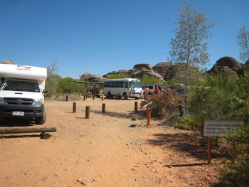
Go a further 52 km into the Bungle Bungles to reach the visitor information centre. (26 km to cathedral Gorge going south) and (18 km to Ehidna Cham going east) this is now Purnululu National Park.
Echidna Chasm Gorge - Bungle Bungles
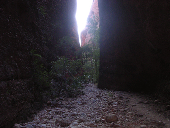
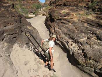
Easy to moderate, 2 km, 1 to 2 hour return walk through a narrow chasm with some large boulders to be scrambled over. Echidna Chasm is one of the highlights of the park. The walk begins at the Echidna Chasm car park, 19 km north of the visitor centre. It is a moderately difficult with a short challenging climb near the end. The gorge is a spectacular long, narrow chasm. It has striking colour variations, depending on the angle of the sun beaming into the chasm, with Livistonia palms waving from the 200 m high ridges above. This area is understandably popular with photographers. The amazing conglomerate boulders strewn along the path provide a clue to the sedimentary origin of the Bungle Bungle Range. Echidna Gorge car park has shaded picnic areas and toilets.
Osmand Lookout You can walk to this lookout from the Echidna Chasm Car park to gain fantastic views of the dry, wild and rugged Osmand Range. It is enjoyable at any time of day but spectacular in the early morning or late afternoon light. Echidna Chasm walk Easy to moderate, 2km, 1 to 2 hour return walk with challenging short climb near the end. Experience a spectacular 200-metre chasm with varying colour hues. A short walk off the main trail takes youto a look out with magnificent views of the Osmand Range.
Echidna Gorge car park has shaded picnic areas and toilets.
Halls Creek.
Come back out and continue driving
Come back out and go let's say a casual 2 hour drive south to Halls Creek.
Near Halls Creek you exit onto the Duncan Highway (unsealed 15 km) to the China Wall just off the Duncan Highway and return to Hall Creek.
15 km south of Halls creek is the Tanami Track exit.
The next stretch is Halls Creek thru to Fitzroy Crossing - 291 km allow minimum 3 hours we say 4 hours.
Fitzroy Crossing
Fitzroy Crossing is a small town in the Kimberley region of Western Australia, 400 kilometres (250 mi) east of Broome and 300 kilometres (190 mi) west of Halls Creek. A short distance out of town on the Geikie Gorge Road is the old Fitzroy Crossing townsite. It is now no more than a few disused buildings. Nearby is the low level crossing of the river which can be traversed in the dry season.
Whilst it is not a big town don�t let size fool you, Fitzroy Crossing has all the main services and special one of a kind touristy treasures just for you; it is truly the perfect base to access the spectacular sights of Geike Gorge, Mimbi Caves , St George Ranges, Tunnel Creek, and Windjana Gorge.
Geike Gorge National Park
Geike Gorge was named after British geologist, Sir Archibald Geikie in 1883. The gorge features steep walls where the river has cut through the Geike Range, exposing a fine section of the Devonian Reef. It is 14 kilometres long, divided into two sections of approximately equal length.
The 30 metre high walls are bleached white by sun and water to a height of about 10 to 12 metres above normal river level and fossils embedded in the limestone may be seen. Features of the gorge include the colours, reflections, freshwater crocodiles, fish and freshwater stingrays which add to the park's fascinating landforms. �You may swim off the sandbank, but care is needed and there are three walking tracks. Wildlife abounds, including freshwater crocodiles which are not generally considered to be a threat to humans if left undisturbed. Because of their significance both banks of the river have been declared a sanctuary. The only permitted area for walking/run along the west bank from the southern boundary of the park to the beginning of the west wall of the gorge. The road is sealed all the way from Fitzroy Crossing. It is suitable for all vehicles, trailers and caravans.
�Open Times: 6:30am to 6:30pm daily in the Dry Season, there is no camping available. Entry is restricted during the wet season (December to March) when the Fitzroy River floods.
Geike Gorge National Park General Facilities
Available: BBQ Facilities, Carpark, Picnic Area, Public Toilet, Sheltered Area. With prior permission, private boats are allowed on the waters outside of tour times. Please note that no pets are allowed in National Parks. Department of Parks and Wildlife offer one hour boat cruises, seven days a week; you pay for these at the gazebo out at Geike Gorge, we recommend you arrive 30 minutes before the tour.
Cash and EFT facilities are available
Cost: Adult $40.00 Concession $29.00 Child $10.00 Family $90.00
Tour times: June: 8:00am 9:30am 2:30pm 4:00pm
Darngku Heritage Cruises, are indigenously owned, and offer a range of boat and walking tours from $65.00 per adult.
Tunnel Creek National Park (4wd access)
�Tunnel Creek National Park is located in the Kimberley Region of Western Australia and is approximately 91 hectares. It is 112 kilometres from Fitzroy Crossing, 184 kilometres from Derby and 38 kilometres south-east of Windjana Gorge and is accessible by an unsealed road. There is a permanent spring just past the Leopold Downs Station turnoff and there are several flood ways on this section of the road between the Great Northern Highway and Tunnel Creek National Park, please check the road condition report.
A four-wheel-drive vehicle is recommended to access the park, which is generally inaccessible during the wet season.
Tunnel Creek National Park is open from May to October.
The park is a day use area, with facilities limited to toilets, picnic tables and an information shelter.
You are welcome to camp at nearby Windjana Gorge National Park (camping fees apply). Please note that no pets are allowed in National Parks.
Jandamarra�s hideout Western Australia's oldest cave system, in Tunnel Creek National Park, is famous as a hideout used late last century by the Aboriginal leader Jandamarra. He was killed outside its entrance in 1897.
Tunnel through the reef
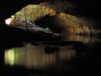
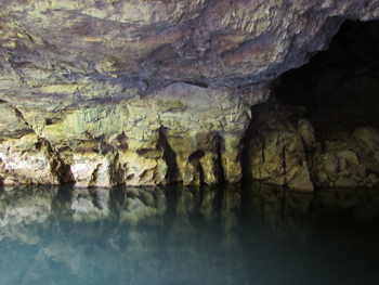
�You can walk through the tunnel to the other side of the Napier Range. The track runs underground for 750 metres and you wade through several permanent pools and return the same way.
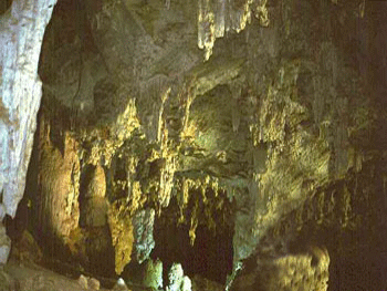
At least five species of bats live in the cave, including ghost bats and fruit bats, and stalactites descend from the roof in many places.
The roof has collapsed through to the top of the range near the centre of the tunnel.
Take a torch, wear sneakers and be prepared to get wet and possibly cold.
Tours are available from Fitzroy Crossing and self drive; you can book online or over the phone with our friendly team.
Windjana Gorge National Park (4wd access)
Windjana Gorge National Park is located in the Kimberley Region of Western Australia. It is 145 kilometres from Fitzroy Crossing, 146 kilometres from Derby and 38 kilometres north-west of Tunnel Creek; and is accessible by an unsealed road. There is a permanent spring just past the Leopold Downs Station turnoff and there are several flood ways on the section of the road between the Great Northern Highway and Tunnel Creek National Park, please check the road condition report. A four-wheel-drive vehicle is recommended to access the park, which is generally inaccessible during the wet season.
Windjana Gorge National park is one of the Kimberley's stunning gorges. See the striking glory of a 350 million year old Devonian period reef rising majestically above the surrounding plains. The walls of Windjana Gorge rise abruptly from the wide alluvial floodplain of the Lennard River, reaching about 100 metres high in some places.
General Facilities include carpark, picnic area, camping area, toilets, showers and sheltered Area. National Park access is $12.00 per vehicle, seating up to 12, or $6.00 with concession, alternatively see our friendly staff for a National Parks Pass to gain access to all of Western Austrlia�s National Parks.
Pitch a tent The park has good camping facilities and the Windjana Gorge Campground is suitable for caravans but there are no powered sites. The camp grounds provide showers, toilets, phone, picnic tables and fire pits, which are subject to seasonal use only. Please note that no pets are allowed in National Parks. Camping costs are: $12.00 per adult $8.80 per concession $2.20 per child (6 � 15yrs) (Last see saw the prices in 2019)
Meet the wildlife - The Lennard River runs through Windjana Gorge in wet weather, but forms pools surrounded by trees and shrubs during the dry season. The 3.5km long gorge cuts through Napier Range: part of the ancient Devonian limestone reef that can also be seen at Geikie Gorge and Tunnel Creek. Freshwater crocodiles bask in the pools, while fruit bats and corellas roost in the waterside trees.
Walk the gorge - Walks include the Gorge Walk, which begins at the camping area and winds through the gorge for 3.5km each way. The Short Time Walk takes a look at marine life forms fossilised within the limestone of the gorge walls. The Savannah Walk along the south-eastern wall showcases the plants and animals of the woodlands
Steeped in culture - Aboriginal leader Jandamarra used the gorge as a hideout and was shot and injured at Pigeon�s Rock during a gun battle with Europeans in 1894. Windjana Gorge is a highly spiritual place to Bunuba people and the Wandjina are the powerful creation spirits that reside here. Hence the name Windjana, which was (mis)recorded by William Forrester, who took up a nearby pastoral lease in 1884 and built Lillimooloora Homestead. You can visit the ruins of this homestead.
Reference: www.fitzroycrossingtourism.com.au Windjana| Tunnel Creek | Geike Gorge
Onto Derby on the northern coast
Head ourt of Fitzroy Crossing onto Derby around 257 km, and travel time is 3 hours maybe 3.5 hours if you have a few stops. Exit off the Great Northern Highway onto the Derby Highway (41 km) which is the western terminus of the popular Gibb River Road meeting 5 km before Derby.
Derby is a town in the Kimberley region of Western Australia. At the 2016 census, Derby had a population of 3,325 with 47.2% of Aboriginal descent.
Derby to Broome
After your time in Derby head back down the Derby Highway onto the Great Northern Highway and maybe stop at Willare Bridge Roadhouse then travel around 179 km into Broome.
-

More on camping in the Kimberley
Camping in Kununurra
The Town Caravan Park is an oasis nestled in the heart of Kununurra within 300m of shops, restaurants and cafes.
Kununurra Resorts operates: Ivanhoe Village Caravana Resort in Kununurra, a quiet park with plenty of shade and grass on the edge of Kununurra, yet only a 800 metre walk into town.
Kimberleyland Waterfront Holiday Park - Overlooking the spectacular Sleeping Buddha rock formation is Kimberleyland. Set on manicured lawns leading down to the waterfront of Lily Lagoon, the Park has large shady powered and unpowered sites with magnificent views, self contained en suite cabins and a swimming pool.
Hidden Valley Caravan Park - Mirima National Park forms a magical backdrop to approximately 15 acres of shady grassed caravan and camping sites, with beautiful boab trees scattered throughout the park. The pool and BBQ areas are a wonderful way to unwind and enjoy the truly breathtaking sunsets over the valley's rugged landscape. Our staff will assist you with tour requirements to all our local and majestic locations - The Ord River, Bungle Bungles, Lake Argyle, The Grotto and of course the Mirima National Park.
Park Parry Creek Farm Tourist Resort and Caravan Park - Is a picturesque resort on 120 acres of pristine land 10 minutes of the Great Northern Highway and 20 minutes from Wyndham, we are the closest accommodation to the northern end of the Gibb River Road. Situated in the Parry Lagoon Nature Reserve surrounded by the famous Ramsar Wetlands we are a prime location for birdwatchers and photographers with Boab forests surrounding and over 200 bird species in the area. We are also only 20 minutes from the Ord River and fishing is good. Old Halls Creek Road is a 13km track with pavers laid in the 1800's still visible, swim at the Grotto, enjoy birdwatching at the Marlgu bird hide, Sunset at the 5 Rivers Lookout is World Class, visit www.parrycreekfarm.com.au for further information.
Mount Elizaberth Station - A working cattle station in the heart of the Kimberley. The homestead accommodation and camping faciities offer a comfortable base from which to explore the rugged beauty of the surrounding wilderness, or learn about the workings of a cattle station first hand. Located 370km from Derby and 410km from Kununurra.
Drysdale River Station - Gibb River Road - Drysdale is a family owned and operated million acre working cattle station, running approx. 10,000 head. We cater to visitors and offer something for everyone, something to suit all budgets. Sick of driving?! Need a cup of coffee, a cold drink, a meal and a beer? How about a camp site with a hot shower? Dinner in the beer garden, yarns around the log fire? A warm bed or a nice hot dinner in the licensed dining room. A cooked breakfast will give you a good start in the morning. We offer all you may need or want. If you feel like the bed but wish to cook for yourselves also included with the accommodation is the use of a kitchen for use with your own cooking gear. Camp riverside at Miners Pool or choose the Homestead Camp with bathroom and laundry facilities. Drysdale is a family owned and operated million acre working cattle station, running approx. 10,000 head. We cater to visitors and offer something for everyone, something to suit all budgets. Sick of driving?! Need a cup of coffee, a cold drink, a meal and a beer? How about a camp site with a hot shower? Dinner in the beer garden, yarns around the log fire? A warm bed or a nice hot dinner in the licensed dining room. A cooked breakfast will give you a good start in the morning. We offer all you may need or want. If you feel like the bed but wish to cook for yourselves also included with the accommodation is the use of a kitchen for use with your own cooking gear. Camp riverside at Miners Pool or choose the Homestead Camp with bathroom and laundry facilities.
Accommodation. Riverside Camp area, beside a lovely big waterhole on the Drysdale.
APT Mitchell Falls Wilderness Lodge - Perfectly situated in close proximity to Mitchell Falls beside a delightful waterhole on Camp Creek, Mitchell Falls Wilderness Lodge is the ideal base for exploring some of the region's most unforgettable attractions. APT Wilderness Lodges offer a touch of luxury in the heart of the wilderness. Eliminate the hassles from your self-drive Kimberley adventure, staying in a twin tented cabin complete with spacious ensuite, hot shower and flushing toilet. A private front deck, is the perfect place to relax at the end of the day.
The stunning Ungolan Pavilion completed in 2015 raises the bar for remote accommodation once again, fusing modern Australian, local craft and Indigenous influences. It includes a lounge, bar, library and dining areas as well as a commercial kitchen to provide an even higher level of gourmet cuisine. A deck offers easy access to the Lodge's private waterhole. Enjoy open-air dining with the freshest of local cuisine prepared by our expert chefs. A three course set menu dinner and full breakfast are included with your stay. Our lodges are licensed and provide a select range of beers and Margaret River wines for purchase. Our welcoming Lodge hosts are always on hand to help in any way and offer their knowledge of the region.
APT Bell Gorge Wilderness Lodge - Bell Gorge Wilderness Lodge boasts an enviable position, with expansive views of the King Leopold escarpment. Located just off the Gibb River Road and close to the Imintji Aboriginal Community, the lodge enjoys its prime Indigneous-owned site, close to some of the West Kimberley's most beautiful gorges. APT Wilderness Lodges offer a touch of luxury in the heart of the wilderness. Eliminate the hassles from your self-drive Kimberley adventure, staying in a twin tented cabin complete with spacious ensuite, hot shower and flushing toilet. A private front deck, is the perfect place to take in the magnificent sunsets and sunrises. Enjoy open-air dining with the freshest of local cuisine prepared by our expert chefs. A three course set menu dinner and full breakfast are included with your stay. Our lodges are licensed and provide a select range of beers and Margaret River wines for purchase. Our welcoming Lodge hosts are always on hand to help in any way and offer their knowledge of the region.
Mornington Wilderness Camp - Located in the heart of the Kimberley, Mornington Wildlife Sanctuary covers more than 3,000 km2 of spectacular gorges and tropical savanna dominated by the Fitzroy River and King Leopold Ranges. Owned and managed by the non-profit Australian Wildlife Conservancy (AWC), Mornington Wilderness Camp provides a comfortable base from which to explore this remarkable sanctuary. It is a naturalist�s paradise, providing refuge for over 200 species of birds and a diverse range of other wildlife. All proceeds from the Wilderness Camp are dedicated to the conservation of wildlife in the Kimberley. AWC offers many enjoyable day trips around Mornington. Popular activities include canoeing down Dimond Gorge and swimming and exploring Sir John Gorge. Before dinner, enjoy a glass of champagne as you watch the sun set over the stunning Central Kimberley ranges. Nature lovers can indulge in various guided and self-guided tours. From birdwatching to exploring habitats unique to the Kimberley, there is something for everyone.
Relax and soak up the atmosphere with a few nights in the safari tents, which overlook Annie Creek. Alternatively, pitch your own tent in the shady campground. In the evenings, dine under the stars at the bush bar and licensed restaurant. For the adventurous traveller, this is a unique opportunity to experience one of Australia�s leading wilderness camps while also helping to save Australia�s endangered wildlife. See more at: australianwildlife.org
Mornington Wilderness Camp is open to visitors from May to October - weather and road conditions permitting. The road is suitable for 4WD vehicles only. Please contact the Wilderness Camp for up-to-date information.
By Road To discover Mornington sanctuary, travel along the Gibb River Road to the signposted turnoff. The distance to Wilderness Camp from the following is: �330 km (5 hours) from Derby; �550 km (7 hours) from Broome; �565 km (8 hours) from Kununurra; and �385 km (6 hours) from Fitzroy Crossing. From the turnoff (at Mt House) drive a further 88 km (1.5 to 2 hours) south to the Wilderness Camp
By Air The Wilderness Camp has a 1,000 m airstrip (S. 17.31.40 E. 126.07.12, elevation 670 ft, parking and windsock at SW corner - 2 NM east of the camp). Charter flights to Mornington sanctuary are available from Broome (1 hour 40 minutes), Kununurra (1 hour 20 minutes), Halls Creek (1 hour) or Fitzroy Crossing (30 minutes).
El Questro Wilderness Park - El Questro Wilderness Park is considered to be one of the worlds most unique holiday destinations. No matter how much you have to spend, or what you like to do, El Questro has the perfect holiday for you. El Questro is committed to protecting Australia?s unique ecology, sensitively developing new areas of interest, providing visitor information, and creating experiences that you will never forget. It is compulsory for all visitors to purchase a Wilderness Park Permit to enter the park. Permits are available at all El Questro outlets. The Wilderness Park Permit prices are: ? Adult - $20 per person (valid 7 days) ? Children aged 12 and under - complimentary Wilderness Park Permit funds are used to: - supplement the maintenance of over 100km of roads and tracks - provide and maintain eco-toilets - undertake walking trail maintenance - remove litter, rubbish and un-natural items from our environment - provide information, safety requirements and signage for our visitors
El Questro Station � Riverside camping area - Riverside camping area is on the Pentecost River near El Questro Station township. Campers will find secluded sites on the riverbank but no facilities; these are only available back at the homestead. This is an ideal spot for self-sufficient campers who like to feel a sense of discovery at every turn while they explore this ancient land. A Wilderness Park Permit, available at the property, is required. To contact: (08) 9161 4318
Mount Barnett Roadhouse � Manning Gorge camping area - The camping area at Manning Gorge is 7 km north of the roadhouse, with shady sites on the riverbank and a good range of facilities. Its swimming hole is reputedly the best in the region, so it�s a very popular spot in the dry season. Additional accommodation is available at the roadhouse. Bring firewood and drinking water to this camping area on the Gibb River Rd, 406 km west of Kununurra, 108 km south-west of the Kalumburu Rd junction and 309 km east of Derby. Contact information How to book: Gibb River Rd (08) 9191 7007 Road conditions: WA Main Roads 1800 013 314, 13 8138
Charnley River Station - Charnley River Station is a working cattle station off the Gibb River Rd, 49.6 km south-west of Mt Barnett Roadhouse and 4.1 km north-east of the Mornington Wilderness Camp access. It is a further 43 km north-west to the camping area near the homestead, which has a good range of facilities and shady sites among the trees near the river.
To book: (08) 9191 4646
Mount Hart Wilderness Lodge - King Leopold Range Conservation Park - http://mounthart.com.au/. Mount Hart Wilderness Lodge offers an authentic homestead experience off the Gibb River Road. Providing accommodation and camping. Located in the heart of the King Leopold Ranges Conservation Park, Mt Hart�s proximity to many of the Kimberley major attractions makes an ideal base to explore the region. Originally a working cattle station, this unique property offers a rich pastoral history, exudes a rustic ambience and offers exceptional hospitality. Set amongst beautiful gardens, our accommodation features comfortable double, twin and triple rooms with shared facilities and En-suite Safari Tent options.
Birdwood Downs Station - Location: Gibb River Road, via Derby, WA,6728, Australia Email: [email protected].
Birdwood Downs offers year round Bungalow Accommodation, as well as camping, tours and horse riding.
The Kimberley School of Horsemanship offers training for all ages in horse care, horse training and riding. Facilities include a roundyard, rodeo arena and special paddocks for care and foaling. Horse rides are available for all levels of experience. The School includes a breeding program for Quarab horses.
Diggers Rest - Diggers Rest is an authentic, working cattle station, nestled on the banks of the tidal King River in the King River Valley. It is on King River Rd, 40 km south-west of Wyndham, with the majestic Cockburn and Erskine ranges providing a stunning backdrop to the station accommodation and adjacent camping area. The atmosphere is relaxed and ageless, offering a rare opportunity to step back in time and become part of the ancient landscape and traditions. From horseriding to fishing tours, and bushwalking to birdwatching, there�s plenty to do for those looking for an incredible adventure.
To book: King River Rd (08) 9161 1029 www.diggersreststation.com.au
Ellenbrae Station - Leaving the Gibb River Rd, it is 4.9 km north to this homestead and camping area, where visitors will find basic facilities near a deep, cool waterhole. Fishing and swimming are popular pastimes here, as is relaxing in the pure serenity of the place at day�s end. Leave the Gibb River Rd 69.9 km east of the Kalumburu Rd junction, 106.5 km west of Home Valley Station or 115.3 km west of the Pentecost River crossing.
To book: Gibb River Rd (08) 9161 4325
Imintji Roadhouse - Imintji Community Store and Camp Ground
http://www.imintji.com.au/
Opens May 20th for 2019 Dry Season (it will vary in dates for 2020) Phone: +61 8 9191 7227
The Imintji (Ngarinyin) people welcome you to Imintji Campground. Explorer nearby Bell Gorge, Tunnel Creek, Windjana gorge.
Credits and thanks to: http://www.exploreaustralia.net.au
-
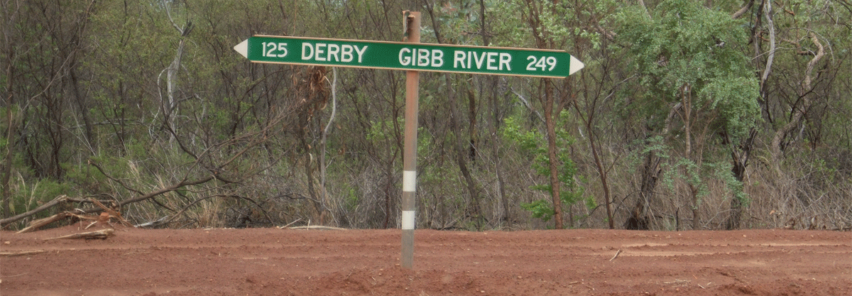
Gibb River Road from Kununurra
The road is a former cattle route that stretches in an east-west direction almost 660 kilometres (410 miles) through the Kimberley between the towns of Derby and the Kununurra and Wyndham junction of the Great Northern Highway.
Everyone normally say though you taking the Gibb from Darwin to Broome - though we know the Gibb River Road doesn't cover the whole route.
The Victoria Highway runs a furtehr 45 km after Kununurra into the Great Northern highway south to hall Creek and noth to Wyndham around 56 km. 8 km into this is the turnoff to El Questro which on old maps is unsealed but now sealed.
El Questro Wilderness Park
Highlights for Getting to El Questro
Self-driving
The most direct way to get to us is via the town of Kununurra.
� From here we are just 110 kilometres west on mostly sealed roads: 58 kilometres on the Great Northern Highway towards Wyndham, 36 kilometres on the Gibb River Road with the remaining 16 kilometres on a gravel.
� Regarded as one of the great Australian 4WD tracks, the Gibb River Road is now sealed from Kununurra to the entrances of both El Questro Emma Gorge and El Questro Station.
� The distance from Kununurra WA 6743, Australia to El Questro - The Station, El Questro Rd, Durack WA 6743, Australia is 103 km, and travel time is 2 hours. Average speed of travel is within 50 km/h. Direction is south-west.
� The entrance to El Questro is accessed mainly via sealed roads, it�s worth noting that the gravel driveway that takes you into the property itself is unsuitable for 2WD or low-clearance 4WDs.
� Scheduled transfers El Questro operates twice-daily scheduled road transfers from Kununurra airport as well as from accommodation providers in the town centre.
El Questro Wilderness Park Address: El Questro Wilderness Park, El Questro Rd, Durack WA 6743, Australia Phone: +61 1800 837 168 https://www.elquestro.com.au/ or contact Kununurra Office - El Questro El Questro Wilderness Park 75 Coolibah Drive Kununurra, WA 6743 AU 1 (800) 837-168 (Australia)
El Questro � The heart of the Kimberley Amid the vast and ancient landscape of Western Australia�s East Kimberley region sits the untamed natural beauty of El Questro. El Questro is a destination unlike any other and offers the freedom to explore one of Australia�s last true frontiers. From deep gorges and majestic mountains to thermal springs, mud and salt-flats, rainforests and cascading waterfalls everything the Kimberley has to offer is located across the property's 700,000 acres and is why we say that El Questro is the heart of the Kimberley
El Questro closes for the wet season .
Emma Gorge reopens usually on 17 April 2019 and closes often on 25 September with some yearly changes.
El Questro Station will reopen on 1 April and close on 26 October (around this time)
El Questro Homestead Perched on a clifftop with views across the Chamberlain River and Gorge, El Questro Homestead is an oasis of privacy and understated luxury in one of the country�s wildest and most beautiful regions. An exclusive retreat for a maximum of 18 guests, El Questro Homestead allows you to fully immerse in an outback experience that is both adventurous and luxurious.
El Questro Station - Staying at El Questro Station is to stay in the hub of El Questro. The property is surrounded by ancient boab trees, rugged landscapes and an array of wildlife, all of which can be experienced by staying in one of the onsite family rooms with river and garden views. El Questro Station is the hub for many of the adventurous activities on offer at El Questro.
Emma Gorge Resort - Nestled in the shadow of the fiery red cliffs of El Questro�s Cockburn Ranges sits Emma Gorge Resort where 60 tented cabins blend seamlessly into the Australian wilderness. Just two kilometres off the sealed Gibb River Road, and a short walk to Emma Gorge itself, the resort brings the very best of El Questro�s flora and fauna right to your doorstep.
Camping - With allotted powered sites, general camping, private bush camping and Station Tents set up and ready for use, you really are at the hub of the activities and adventures that El Questro has to offer. Explore the beautiful Kimberley by day, then head home at sunset to swap stories around a campfire floodlit by the bright Kimberley stars.
Adventures - El Questro is a magical and ancient landscape where unique experiences are had and lifelong memories are made. Getting out and about is easy from wherever you choose to stay. Daily tours collect guests from El Questro Emma Gorge, El Questro Station and El Questro Homestead. If self-guiding adventures are your thing - simply collect a map from reception, or have a chat with a Ranger who can assist you with your personal adventure. With 700,000 acres to explore, we understand that �where to start� may be difficult � as such we have designed the must do experiences and some itineraries for you to enjoy or inspire you further in creating your own.
El Questro Station - Anything you ever dreamed of seeing or experiencing in the Kimberley is right here at El Questro � heart of the Kimberley.
waterfalls - some accessible only by helicopter others via an easy walk
hikes and treks - ranging in intensity
swimming holes and thermal springs
ancient gorges - many with lush tropical gardens and waterfalls
unique fishing locations - some accessible by heli only
majestic lookouts where you will fully appreciate the expanse of this region
mighty river systems - three run through El Questro
wildlife and flora - home to 100 species of birds and many other unique wildlife and flora
accommodation from private camping under the stars to the luxury of El Questro Homestead
-
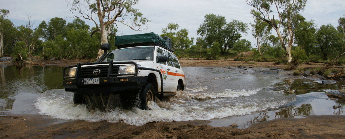 Gibb River Road from El Questro to Derby
Kimberley rivers:
Western Australia�s Kimberley region has approximately 30 major rivers and many more tributaries and tidal creeks. Kimberley rivers are unique because of their relatively pristine nature. Unlike rivers in many other parts of Australia and the world, most Kimberley rivers are free flowing, their riverside vegetation is relatively intact, and water is not highly extracted or contaminated. In a few cases entire river catchments remain in an almost natural condition, free from significant human disturbance. Many Kimberley rivers are unique and represent important examples of some of Australia�s, and the world�s, last remaining natural river systems.
The Pentecost River and Cockburn Range in the Kimberley Australia
The Pentecost River appears to be a tidal river (in the wet with high tides) in the Kimberley region of Western Australia. The Pentecost rises in the Durack Range and flows north through El Questro Station
Tributaries of the Pentecost include the Chamberlain River, Salmond River, Gap Creek and Five Mile Creek. The Chamberlain and Salmond are both longer than the Pentecost.
Facts at a glance Length 275 km (Pentecost � Chamberlain mainstream) Catchment area 8 940 km Mouth West estuary of the Cambridge Gulf, Wyndham Average annual rainfall 700 mm Annual rainfall range 600 � 750 mm Notable features Salmond and Chamberlain Rivers, Pentecost River crossing, Chamberlain Gorge, Emma Gorge, El Questro Wilderness Park
The Pentecost River flows into the west arm of the Cambridge Gulf. Although the Chamberlain and Salmond rivers are tributaries of the Pentecost River, both are longer than the Pentecost. Other major rivers adjacent to the Pentecost are the Durack, King and Ord. The Durack and King rivers join the Pentecost in the west arm of the Cambridge Gulf and when the sea level was lower they would have been part of the same river system. Visitors can easily reach sections of the Pentecost and Chamberlain rivers from El Questro Wilderness Park.
In its upper reaches the Pentecost River drains the ridges and hills of the Durack Range. The undulating terrain and confined valley give way to an open, broad valley in the middle reaches of the river, before ranges again confine it. The Pentecost River flows through a narrow gorge for approximately 10 kilometres just upstream of its junction with the Chamberlain River. In its lower reaches, below the junction with the Chamberlain River, the Pentecost River has steep cliffs and permanent pools. Its tidal reaches are in more open alluvial country, but it is somewhat confined by the Cockburn Range to the north and hills to the south.
The Chamberlain River is one of the most geologically impressive rivers in the Kimberley, running along a deep, steep-sided valley between the Durack Range and Elgee Cliffs for almost its entire 220 kilometres. Where the valley floor is wide enough, the channel meanders from valley wall to valley wall, but usually it is fairly straight as it has no room to move. The valley is asymmetrical due to its geology: its western side is almost vertical but its eastern side slopes at 45 degrees and is drained by scores of parallel tributaries � each only about 2 kilometres long. Numerous pools punctuate a fairly rocky channel bed. This catchment is extremely narrow.
Mitchell River
Facts at a glance Length 117 km Catchment area 2 970 km Mouth Walmsley Bay Average annual rainfall 1400 mm Annual rainfall range 1300 � 1450 mm Notable features Mitchell Falls, Little Mertens Falls, Big Mertens Falls, Surveyors Pool
The Mitchell River is one of the Kimberley�s best-known rivers and is often visited by tourists.
The spectacular Mitchell Falls are a rewarding sight after the long drive or helicopter flight needed to reach this remote and awe-inspiring area.
Other major rivers nearby are the Prince Regent, Hunter, Scott and Lawley rivers.
The Mitchell River flows north from its headwaters on the Mitchell Plateau into Walmsley Bay and Admiralty Gulf. Its main channel roughly follows the western edge of the junction between the sandstone and overlying volcanic rocks that form the Mitchell Plateau.
The upper reaches of the Mitchell River that drain the rounded volcanic hills of the Mitchell Plateau have a finger-like or �branching� drainage pattern, whereas those draining flattish sandstone country lower down have a more blocky, rectangular pattern due to the weathering of geological fractures.
The middle reaches of the Mitchell River are rocky and little sediment is present in the channel. Long, deep pools are thickly vegetated.
Over time the river has cut into ancient sandstone rock, carving gorges and waterfalls. The largest of these are the Mitchell Falls with their spectacular bare rock walls, The Mitchell Falls are a series of falls 80 metres high with three main sheer steps. Below the falls the Mitchell River is controlled by a geological fracture that runs north�south and forms a narrow estuary over 30 kilometres long.
Durack River
Facts at a glance Length 306 km Catchment area 14 200 km Mouth West estuary of the Cambridge Gulf, Wyndham Average annual rainfall 800 mm Annual rainfall range 630 � 900 mm Notable features Durack Falls, Jacks Waterhole, Scotty Salmond Gorge, Durack, Ellenbrae and Karunjie.
The river was named after Michael �Stumpy� Durack, the first white man to cross the river in 1882.
The Durack River is the fifth longest river in the Kimberley. Despite its length and the familiar name, little is known about it. It discharges into the west arm of the Cambridge Gulf, fed by tributaries such as the Chapman River and Wood, Blackfellow, Campbell and Ellenbrae creeks, which begin in the same ranges as the headwaters of the Fitzroy and Drysdale rivers. The Gibb River Road crosses many of the Durack River�s tributaries.
Little about the Durack River�s ecology is documented. Paperbarks (Melaleuca leucodendra), pandanus and eucalypts are common along banks. . The Durack River is known to host significant but isolated populations of the vulnerable Purple crowned fairy wren (Malurus coronatus).
The Durack River is accessible via the Gibb River road and there are a number of Aboriginal communities located near this river, some active living areas.
The Durack flows through several operating pastoral stations including Home Valley, Ellenbrae, Durack River, El Questro and Pentecost Downs.
Fitzroy River
Facts at a glance Length 624 km Catchment area2 92 000 km Mouth Opening Bay in King Sound Average annual rainfall 500 mm Annual rainfall range 400 � 900 mm Notable features Geikie Gorge, Dimond Gorge, Sir John Gorge, Margaret River pool, Fitzroy Crossing (site of the original crossing), Camballin Irrigation Area and Willare crossing.
By far the mightiest river in the region is the Fitzroy River in the central and western Kimberley. Although other rivers in Western Australia are longer or have larger drainage areas, the Fitzroy River has, on average, the greatest volume of annual flow and the largest floods. The Fitzroy River is also well known for its high cultural and ecological values, with a number of significant species found there. The Margaret, Leopold, Mary, Hann, Adcock and O�Donnell rivers, and Christmas and Geegully creeks, all flow into the Fitzroy River.
Ord River
Facts at a glance Length 588 km (130 km downstream of main dam) Catchment area 53 900 km (main dam 45 200 km2) Mouth Cambridge Gulf Average annual rainfall 560 mm Annual rainfall range 450 � 820 mm Notable features Lake Argyle and the Ord River dam, Lake Kununurra, Carlton Gorge, Tarrara Bar, Ivanhoe Crossing
The Ord River is the most regulated river in the Kimberley: the Kununurra Diversion Dam traps water to form Lake Kununurra and the Ord River dam traps water to form Lake Argyle. Water from the Ord River is used for agriculture and hydroelectricity. The major tributaries of the Ord River upstream of Lake Argyle are the Elvire, Panton, Nicholson, Negri, Wilson/Bow and Behn rivers. The Dunham River is the largest tributary downstream of Lake Kununurra. There are no major tributaries between Lake Argyle and Lake Kununurra. The Ord River drains into the west arm of the Cambridge Gulf. Nearby rivers include the Keep and King.
The upper catchment of the Ord River straddles the Halls Creek fault and is composed of basalt, sandstone, mudstone and limestone. The main channel meanders through broad, open valleys and is somewhat confined by bedrock outcrops. It varies from a channel with wide sand and gravel bars that are very lightly vegetated to a channel filled by narrow, wellvegetated bars. The Ord River dam is in a natural gorge in the Carr Boyd Ranges. Below the dam, steepsided tablelands and rocky hills border wide plains of deep, cracking clay soils. Downstream of Kununurra the channel is characterised by lateral bar forms, occasional rock outcrops (such as Tarrara Bar) and heavy growths of algae and larger aquatic plants. The latter is a result of the changed flow regime and nutrient levels since the dams were built. In its estuarine reaches the Ord River large quantities of sediment have accumulated at regular intervals between bends. Gully erosion is common along the flat flanks of the river.
Since the Ord River was dammed, new ecosystems have evolved due to the changes in channel form, water balance and resultant vegetation. The lower Ord River�s floodplain and lakes Argyle and Kununurra have been declared internationally important wetlands under the Ramsar Convention as a result of the post-dam ecology. The Ord River has been recognised as a nationally important wetland due to its significance as a habitat for more than 75 bird species, including significant breeding and migrant populations.
Lennard River near Derby
Facts at a glance Length 240 km Catchment area 12 300 km �Mouth Stokes Bay Average annual rainfall 700 mm Annual rainfall range 600 � 900 mm Notable features Windjana Gorge, Tunnel Creek, Lennard River Gorge, Wombrella Gap, Barker Gorge, Richenda Gorge
�The Lennard River basin lies north and east of Derby in the west Kimberley. The river runs through the pastoral leases Napier Downs, Kimberley Downs, Meda, Leopold Downs and Fairfield, as well as Mount Hart station, which is located in the King Leopold nature reserve. Its major tributaries are the Barker and Richenda rivers.
Isdell River
Facts at a glance Length 206 km Catchment area 5 540 km Mouth Walcott Inlet Average annual rainfall 850 mm Annual rainfall range 700 � 950 mm Notable features Bell Gorge, Galvins Gorge, Silent Grove
The Isdell River flows over relatively high country around Mount House, Mount Elizabeth and Mount Hart stations in the west Kimberley, draining into Walcott Inlet. Its main tributaries are the Greytal and Springy rivers, and Plain and Bell creeks.
The Isdell River flows over relatively high country around Mount House, Mount Elizabeth and Mount Hart stations in the west Kimberley, draining into Walcott Inlet. Its main tributaries are the Greytal and Springy rivers, and Plain and Bell creeks.
King Edward River
Facts at a glance Length 221 km Catchment area 8 400 km Mouth South Napier Broome Bay, Kalumburu Average annual rainfall 1120 mm Annual rainfall range 1000 � 1300 mm Notable features Carson and Morgan Rivers, Carson Escarpment, Morgan Falls, Worriga Gorge, Moongiyarrie Falls
King Edward, Carson and Morgan rivers located up on the coast. The King Edward River lies in the far north Kimberley and is recognised as a wild river. It flows northward for approximately 120 kilometres from its source before turning east. It then turns north again for 100 kilometres to flow into Napier Broome Bay, just downstream of Kalumburu. The Carson River is a major tributary of the King Edward River. It joins the King Edward River just 25 kilometres upstream of Napier Broome Bay. Other waterways near the King Edward River include Wade Creek and the Lawley River, which are also nationally recognised wild rivers.
Drysdale River
Facts at a glance Length 432 km Catchment area 15 690 km Mouth Napier Broome Bay Average annual rainfall 1000 mm Annual rainfall range 900 � 1300 mm Notable features Solea Falls, Miners Pool, Carson Escarpment, Theda homestead, Drysdale River National Park
The Drysdale River drains the heart of the north Kimberley. It is the third longest river in the Kimberley and its catchment includes many types of landscape. The main tributaries of the Drysdale River are the Gibb and Woodhouse rivers and Crossland and Banjo creeks. Major rivers nearby are the King George and Berkeley rivers.
The middle reaches lie in the Drysdale River National Park. The country is hilly in the park�s southernmost section, but further north it flattens out to broad valleys and shallow gorges. The channel here is approximately 150 metres wide and meanders across the landscape. Large sandbars and long broad pools are evidence of the power of the river in flood. Floodways extend up to 500 metres from the river channel. Near the northern border of the national park, the Drysdale River descends from the sandstone plateau through a gorge in the Carson Escarpment via small falls and rapids. The Solea Falls or Horseshoe Falls are the best-known waterfalls in the area.
Below the plateau the country begins to open out and the river flows over a low plain. The channel is broad and sandy, braided in places, with numerous long pools. Just upstream of its mouth, the river is confined by the Barton River fault to a very straight and narrow course for over 20 kilometres, before finally emptying into Napier Broome Bay over a series of stepped rapids.
Berkeley River
Facts at a glance Length 180 km Catchment area 4 740 km Mouth Joseph Bonaparte Gulf Average annual rainfall 850 mm Annual rainfall range 800 � 900 mm Notable features The sand bar at the river�s mouth, Casuarina Creek falls, Mount Casuarina
The Berkeley River flows across the north-east Kimberley into the broad Joseph Bonaparte Gulf. Its catchment is one of the largest under Indigenous management: run by the Oombulgarri community of the Forrest River Reserve. Tour boats and fishing enthusiasts visit its estuaries. It has one major tributary, the De Lancourt River, which is 57 kilometres long.
Major rivers of the north Kimberley include the Prince Regent, Mitchell, King Edward, Drysdale, King George and Berkeley rivers. These rivers are remote, have rugged, rocky catchments and, until recently, were difficult to access. National parks and reserves have been created in some areas in recognition of the ecology and the beauty of these rivers.
Prince Regent River
Facts at a glance Length 104 km Catchment area 3 160 km Mouth St George Basin Average annual rainfall 1400 mm Annual rainfall range 1150 � 1420 mm Notable features King�s Cascades, Mount Trafalgar, Python Cliffs, Pitta Creek, and Gun Springs
The Prince Regent River drains into St George Basin and then into Brunswick Bay. It has nine major, but short, tributaries originating within 10 to 30 kilometres of the main channel. To the south of the Prince Regent River, the Sale, Gibson and Glenelg rivers drain into Doubtful Bay. To the north, the Roe and Moran rivers drain into Prince Frederick Harbour.
Reference: https://www.water.wa.gov.au
-
 Gibb River Road from El Questro to Derby
Note: Please check with Broome, Derby and Kununurra visitor information centres before you embark on your journey as this is imperative for any and all updates to fuel and raod conditions on the Gibb River Road.
Note: Our suppliers prefer if you start on the Gibb River Road saya week or two after it opens to let the shale bedrock on the road that has just been graded mid April to settle and wear off those sharp edges cut by the Kununurra and Derby graders the week prior that go thru to take out the corrigation on the road as much as possible.
Road houses and fuel stops
As Greg and Josie the authors of our map guides say check first at Broome, Derby and Kununurra visitor information centres on fuel stop which we call petrol stations and fuel stops. Notebly there are basically two along the Gibb River Road where you need them most.
Offering fuel, very basic general stores and take away food snacks to the locals and travellers passing through.
Mount Barnett Roadhouse � Manning Gorge camping area
https://www.facebook.com/mtbarnettroadhouse/
Fuel Duration varies Varies Mt Barnett provides both diesel and unleaded fuel.
The camping area at Manning Gorge is 7 km north of the roadhouse, with shady sites on the riverbank and a good range of facilities. Its swimming hole is reputedly the best in the region, so it�s a very popular spot in the dry season. Additional accommodation is available at the roadhouse. Bring firewood and drinking water to this camping area on the Gibb River Rd, 406 km west of Kununurra, 108 km south-west of the Kalumburu Rd junction and 309 km east of Derby. Contact: Gibb River Rd (08) 9191 7007 Road conditions: WA Main Roads 1800 013 314, 13 8138
Real Coffee! Duration varies Price varies Mt Barnett has a espresso coffee machine and is known as a great coffee stop along the Gibb River Road. We also do amazing iced coffees, milkshakes, smoothies and fresh juices!
Takeaway Menu Duration varies Varies We have a takeaway menu available from 8am - 3pm which includes bacon and egg rolls, fish and chips, homemade beef burgers, hot chips and freshly made sandwiches and wraps.
Groceries Duration varies Varies Mt Barnett had a wide variety of groceries such as fresh fruit and vegetables, meat, dry stores and nibbles such as cheese and dips.
Camping and Fishing gear Duration varies Varies Mt Barnett Roadhouse provides a variety of camping gear as well as a small selection of hand lines, hooks and sinkers for those who may have forgotten or lost something on their travels!
Donga Accommadition Duration varies $110 - $210 Mt Barnett roadhouse has single rooms for $110 per night, double rooms for $190 per night and family rooms for $210 per night.
Imintji Roadhouse - Imintji Community Store and Camp Ground
"Over The Range Mechanical Repairs" is located at Imintji Roadhouse. See RobS's photo and AlanF's photo's further down.
http://www.imintji.com.au/
Opens May 20th for 2019 Dry Season (it will vary in dates for 2020) Phone: +61 8 9191 7227
The Imintji (Ngarinyin) people welcome you to Imintji Campground. Explorer nearby Bell Gorge, Tunnel Creek, Windjana gorge.
Once the store was closed in 2015 so best you check if it's open before you depart Broome or Kununurra. Also on another occassion so long ago we forget exactly when our clients had to camp there for a few days as petrol rationioning happened (it last about a week due to tanker logistics)
Imintji Roadhouse -Dry Season Opening Hours
From 20th May 2019: open every day, 8am to 5pm
Items sold: Fuel - Diesel only Take Away Coffee Ice Creams Cold Drinks Grocery Items Wi-Fi: Available
Imintji Roadhouse -Wet Season Opening Hours
From 30th October 2018: open Tuesday, Thursday and Saturday,
From 30th October 2018: open 8am to 12pm
Note: Hours subject to change due to seasonal conditions and staff availabilty.
Drysdale River Station
On the Gibb River / Kalumburu Road, North Kimberley, Western Australia. Just 59kms North of the junction and only 1 km off the Kalumburu Road.
East: �Kununurra 360 km and West: Derby 470 km.
Shop, small general store
Fuel, diesel and unleaded. (sorry no gas)
Tyre repairs (normally available until September)
Last fuel stop on the way to Kulumburu or the Mitchell Plateau.
Please Note folks: Regretfully, we are unable to forecast when the road will open; this is not our decision. Due to working 7 days a week we seldom drive the road ourselves, so are simply unable to help you with current road condition reports.
IMPORTANT FROM ROB AND MARG ON THE GIBB: Now folks these great locals serving you in these remote roadhouses work hard from dawn to dusk to please everyone. We see on Tripadvisor complaints about service, price and quality of food etc. Folks allow some slack as we say in the north and give them a fair go. Expect local 5S Star service not international 5 star. As for price expect hefty price your in the middle of the Kimberley and outback. Of all our 50,000 plus customers never once has any of them complained to us though we do see others on social media hammer them on rare occassions. To us they are the lifelood and mechanics that keep the Gibb River Road alive.
Gorges and Iconic Spots
We will just list the Gorges and where they are see more at our other sites please http://www.kimberleywesternaustralia.com/
Chamberlan Gorge (El Questro - Gibb River Road )
Emma Gorge (El Questro - Gibb River Road )
Boab Prison Tree (Near El Questro - Gibb River Road )
Adcock Gorge (South side of the Gibb River Road halfway thru)
Mitchell Plateau (North side of the Gibb River Road one third of the way through.)
Galvins Gorge (North side of the Gibb River Road halfway through.)
Manning Gorge (North side of the Gibb River Road halfway through.)
Barnett River Gorge (North side of the Gibb River Road halfway through.)
Silent Grove (North side of the Gibb River Road two thirds of the way through.)
Cathedral Gorge (Bungle Bungles)
Echidna Chasm (Bungle Bungles )
Bell Gorge (South side of the Gibb River Road two thirds of the way thru) (Apollo will not let you into last few km of Bell see their restricitions)
Tunnel Creek (South side of the Gibb River Road two thirds of the way through.)
Windjana Gorge (South side of the Gibb River Road two thirds of the way through.)
Geike Gorge (South side of the Gibb River Road two thirds of the way through.)
Lennard River Gorge (South side of the Gibb River Road two thirds of the way through.)
-
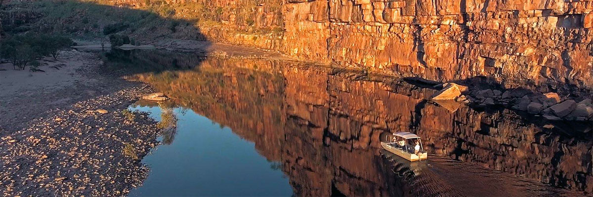 El Questro Homestead
-
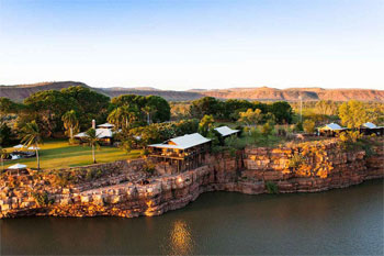 El Questro Homestead
-
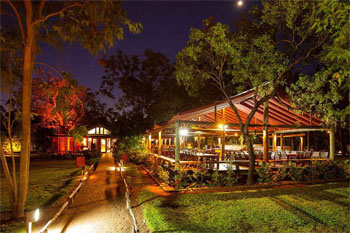 El Questro Homestead
-
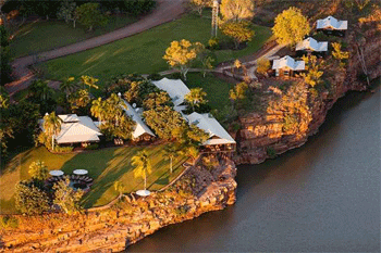 El Questro Homestead
-
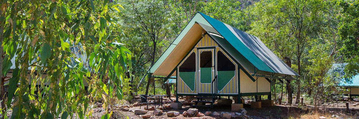 El Questro Wilderness Camp
-
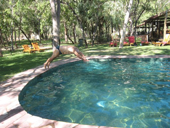 El Questro Wilderness Camp
-
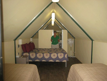 El Questro Wilderness Camp
-
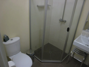 El Questro Wilderness Camp
-
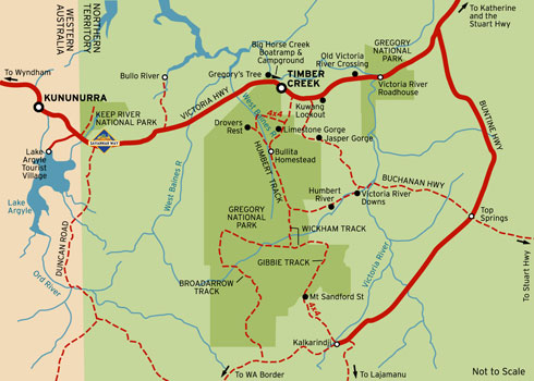
Katherine, Victoria River, Ord River Dam, Timber Creek and Kununurra -
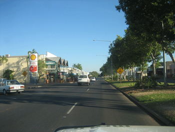 Katherine town to the east
-
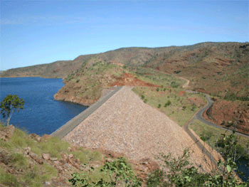 Ord River Dam
-
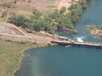 Victoria River
-
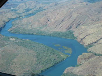 Victoria River
-
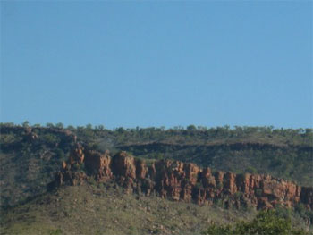 Timber Creek through to Kununurra
-
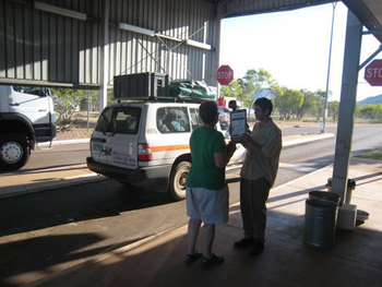 Kununurra Border Quarantine Checkpoint
-
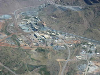 Scenic Flight over Ord River
-
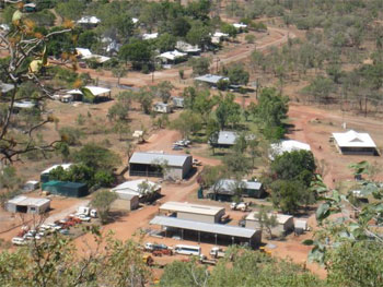 Timber Creek
-
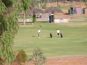 Kununurra Golf
-
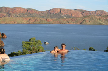 Lake Argyle Resort
-
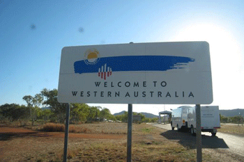 Welcome to Kununurra
-
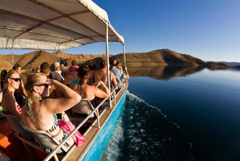 Lake Argyle Cruiser
-
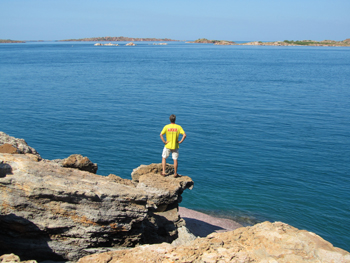
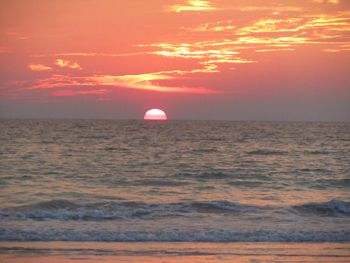
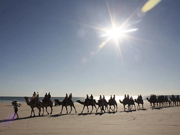
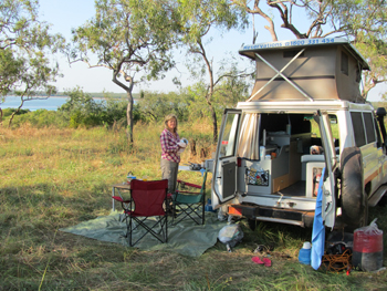
Broome: Broome is a beach resort town in western Australia�s Kimberley region. Along its Indian Ocean coastline, the white sands of 22km-long Cable Beach offer a dramatic backdrop for sunset camel rides. At Gantheaume Point nearby, dinosaur tracks are revealed in the beach�s red rocks during low tide. Broome�s historic Chinatown overlooks Roebuck Bay, a jumping off point for cruises to local pearl farms.
-
 Broome
-
 Broome
-
 Broome
-
 Broome
-
 Broome
-
 Broome
-
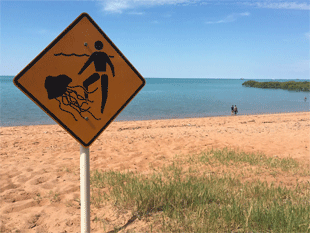 Broome
-
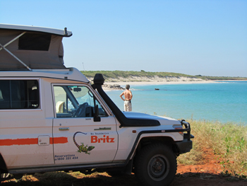 Broome
-
Broome on the west coast of Northern Western Australia and the Staircase to the Stars
-
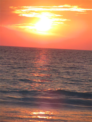 Broome sunsets on Cable Beach are amazing
-
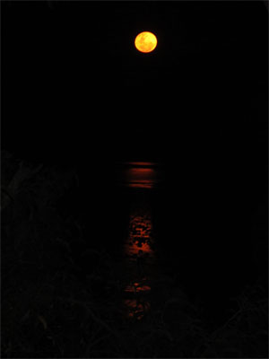 Broome and the Staircase to the Stars
-
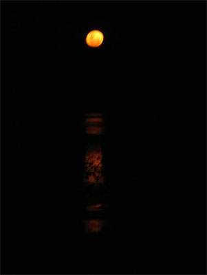 Broome and the Staircase to the Stars
-
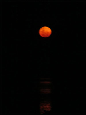 Broome and the Staircase to the Stars
-
Cape Leveque: Cape Leveque is the northernmost tip of the Dampier Peninsula in the Kimberley region of Western Australia. Cape Leveque is 240 kilometres (150 mi) (via the Cape Leveque Road) north of Broome, and is remote with few facilities. Nevertheless, the Cape's sandy beaches are attracting an increasing number of visitors. Cape Leveque (western side) A 13-metre (43 ft)-tall lighthouse was erected at Cape Leveque in 1912. Its light characteristic is a group of three flashes that occurs every twenty seconds whereby the light source emits from a focal plane of 43 metres (141 ft). The lighthouse marks the western entrance of King Sound.
-
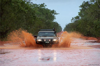 Cape Leveque
-
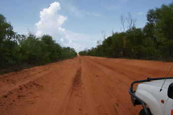 Cape Leveque
-
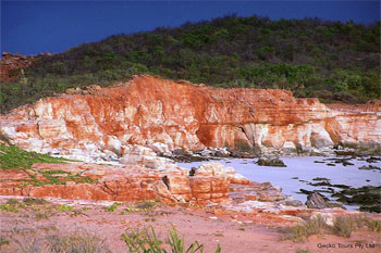 Cape Leveque
-
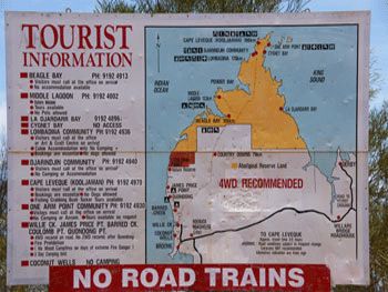 Cape Leveque
-
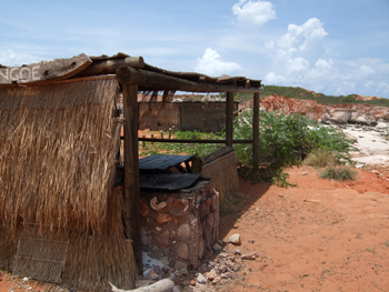 Cape Leveque
-
 Cape Leveque
-
Road Houses on the great Northern Highway and the Gibb River Road
-
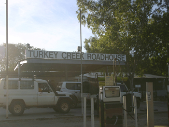
Turkey Creek roadhouse
-
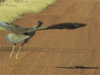 Bush Turkey at Turkey Creek Roadhouse
-
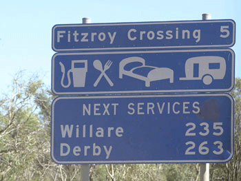 Fitzroy Crossing
-
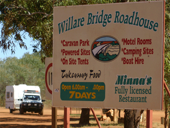 Willare Bridge Roadhouse
-
 Kimberley and the Imintji Roadhouse and Campground. Also the repair shop "Over the Range'. Such a nice local he has helped 2 of our clients out over the years and greatly appreciated.
-
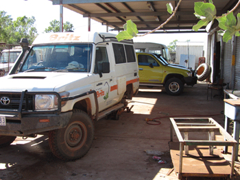 Imintji Roadhouse and the repair shop "Over the Range'
-
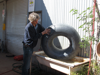 Imintji repair shop "Over the Range'
-
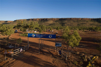 Imintji Roadhouse and Campground.
-
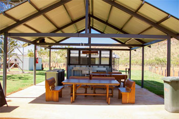 Imintji Roadhouse and Campground.
-
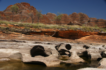
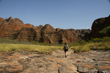
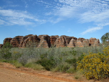
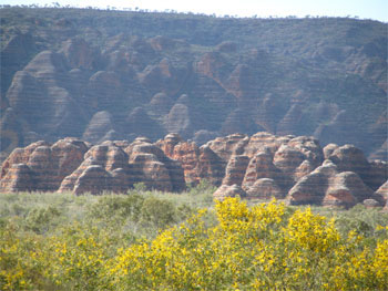
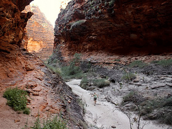
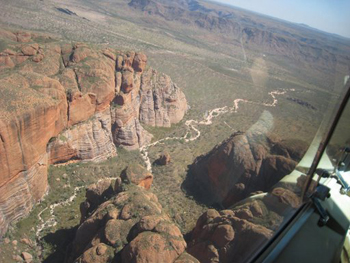
Bungle Bungles exit from the GNH Great Northern Highway south of Kununurra: Explore the Bungle Bungles in Purnululu National Park. You can explore the range on foot and discover long narrow chasms and hidden gorges large enough to hold a full-scale concert. The bee-hive striped domes of the Bungle Bungle range are found in the southern end of the park as is Cathedral Gorge, and Echidna Chasm is found in the northern end. The World Heritage listed Bungle Bungle Range is located within Purnululu National Park in the Kimberley region of western australia.
-
 Bungle Bungles in Purnululu National Park
-
 Bungle Bungles in Purnululu National Park
-
 Bungle Bungles in Purnululu National Park
-
 Bungle Bungles in Purnululu National Park
-
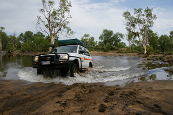 Bungle Bungles in Purnululu National Park
-
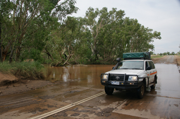 GNH from Kununurra in November
-
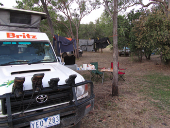 Bungle Bungles in Purnululu National Park
-
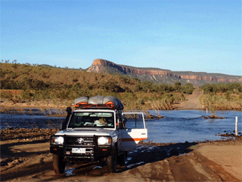 Bungle Bungles in Purnululu National Park
-
 Bungle Bungles in Purnululu National Park
-
More on the Bungle Bungles
-
 Bungle Bungles in Purnululu National Park
-
 Bungle Bungles in Purnululu National Park
-
 Bungle Bungles in Purnululu National Park
-
 Bungle Bungles in Purnululu National Park
-
 Bungle Bungles - Echidna Chasm Gorge
-
 Bungle Bungles in Purnululu National Park
-
More on the Bungles Bungles
-
 Bungle Bungles in Purnululu National Park
-
 Bungle Bungles in Purnululu National Park
-
 Bungle Bungles in Purnululu National Park
-
 Bungle Bungles scenic flight
-
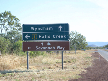
Wyndham: Wyndham is the northernmost town in the Kimberley region of Western Australia, located on the Great Northern Highway, 2,210 kilometres (1,373 mi) northeast of Perth.
-
 Wyndham
-
![The Boab Prison Tree, Derby is a 1,500 year old, large hollow Adansonia gregorii (Boab) tree 6 kilometres south of Derby, Western Australia with a girth of 14.7 metres.[1] It had been reputed to have been used in the 1890s as a lockup for indigenous Australian prisoners on their way to Derby for sentencing. There is no evidence that the Derby Prison Tree was ever used for holding prisoners.](limage/Kimberley-boab-tree-prision-RSpeld-1.jpg) Boab Prison tree
Boab Prison tree
-
 Wyndham
-
Windjana Gorge: Windjana Gorge National Park is a national park in the Kimberley region of Western Australia, 1855 km northeast of Perth and 355 km east of Broome. Open during the dry season only - usually April to November.
-
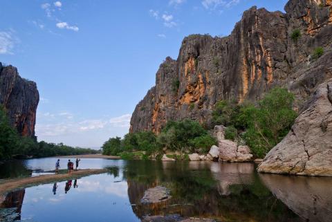 Windjana Gorge National Park
-
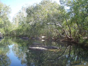 Windjana Gorge National Park
-
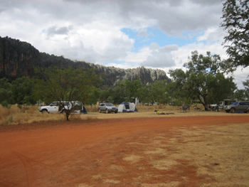 Windjana Gorge National Park
-
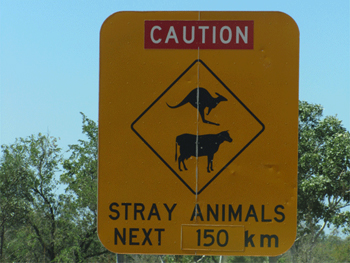 Windjana Gorge National Park
-
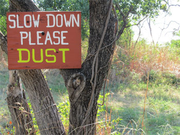 Windjana Gorge National Park
-
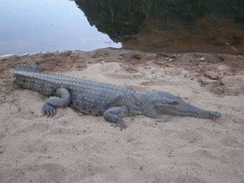 Windjana Gorge National Park
-
Windjana Gorge camping : Windjana Gorge National Park is ppen during the dry season only - usually April to November.
-
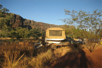 Windjana Gorge National Park
-
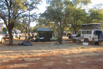 Windjana Gorge National Park
-
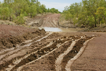 Windjana Gorge National Park
-
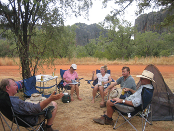 Windjana Gorge National Park
-
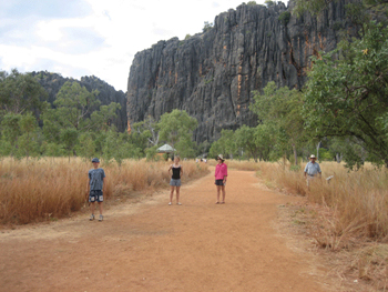 Windjana Gorge National Park
-
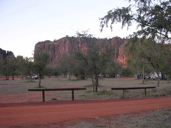 Windjana Gorge National Park
-
Mitchell Falls and other Kimberley Rivers
-
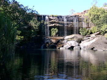 Little Mertens Falls
-
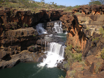 Mitchell Falls
-
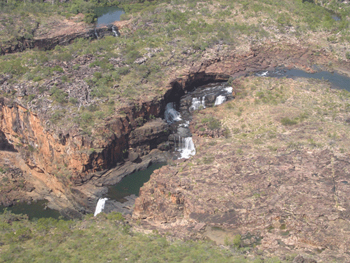 Mitchell Falls
-
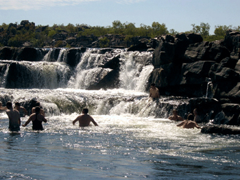 Kimberley Mitchell Falls
-
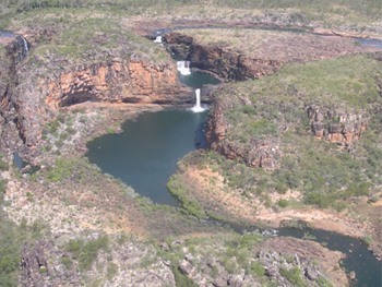 Kimberley Mitchell Falls
-
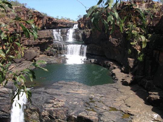 Kimberley Mitchell Falls
-
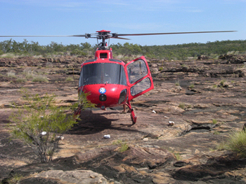 Kimberley Mitchell Falls
-
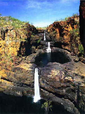 Mitchell Falls
-
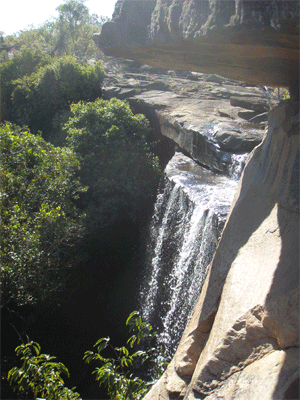 Kimberley Little Mertens - Top of Wen Springs
-
Other Kimberley Rivers and crossings
-
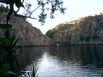 Manning Gorge Falls
-
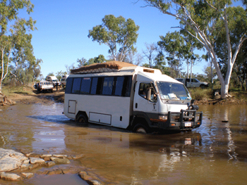 King Edward River
-
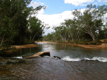 Gibb River River
-
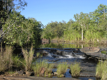 King Edward River
-
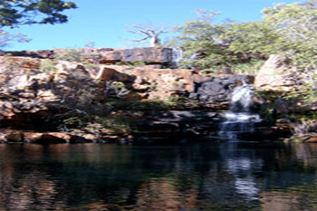 Galvins Gorge
-
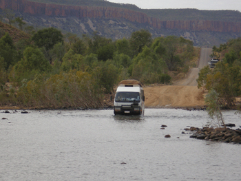 Kimberley Pentacost River
-
Other Kimberley Rivers and crossings
-
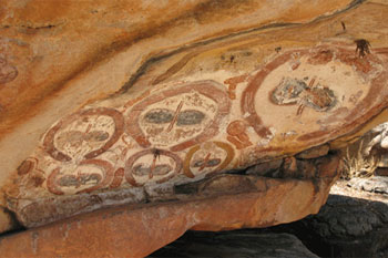 Kimberley Mitchell River National Park | Bradshaw Rock-art, Mitchell River National Park, Kimberley: Two rock art sites at Munurru close to the King Edward River on the Port Warrender Road (the track to the Mitchell River National Park)
-
 King Edward River
-
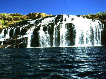 Manning Gorge
-
Incredible Gorges and the 4wd exploration getting to them in the in the Kimberley
-
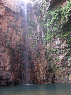
Manning Gorge
-
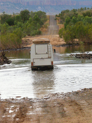 Durack River Crossing
-
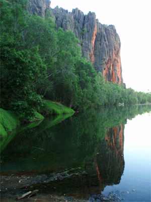 Windjana Gorge
-
Tunnell Creek in the Kimberley
-
 Tunnell Creek the Kimberley
-
 Tunnell Creek the Kimberley
-
 Tunnell Creek the Kimberley
-
Kimberley Jackie Creek: Lilly's Yard region Lilly Yard and Sturt Creek in Western Australia from Darwin to Broome Australia
-
 Kimberley - Jackies Creek
-
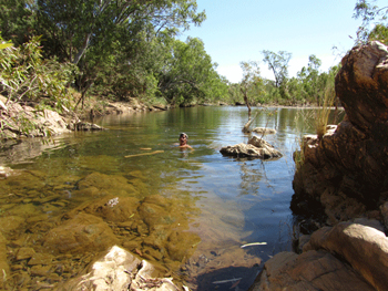 Kimberley - Nearby swim to Lilly's Yards
-
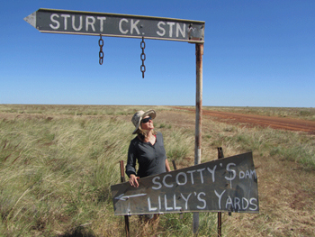 Kimberley - Sturt Creek Station - Lilly's Yards
-
General on the road in the Kimberley in Australia
-
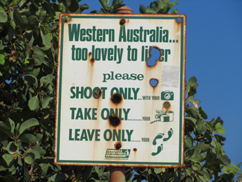 Road signs in the Kimberley
-
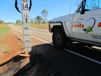 Victoria Highway
-
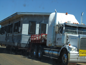 Great Northern Highway
-
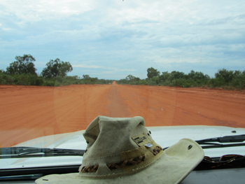 Kimberley Roads
-
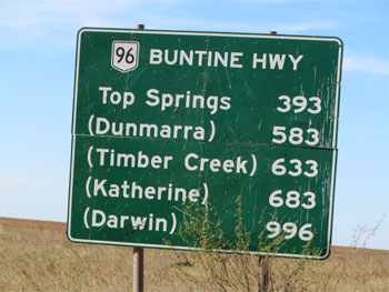 Kimberley Road Signs
-
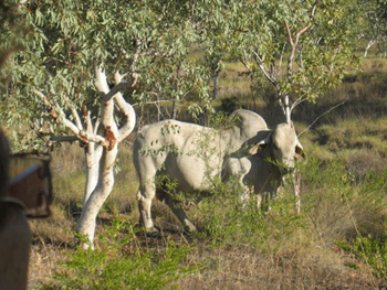 Kununurra and roadside livestock
-
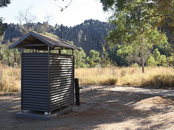 Best view from your outback toilet
-
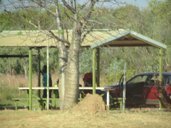 Victoria Highway roadside stop
-
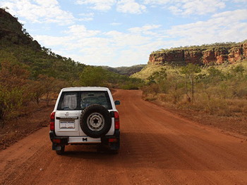 Kimberley Outback Australia
-
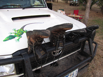 Hanging the boots out to dry
-
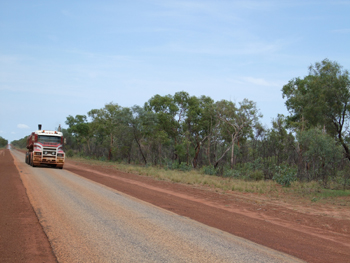 Great Northern Highway
-
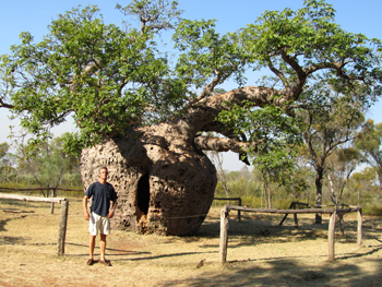 Boab prison tree
-
South East of Kununurra - The Buchanan Highway
-
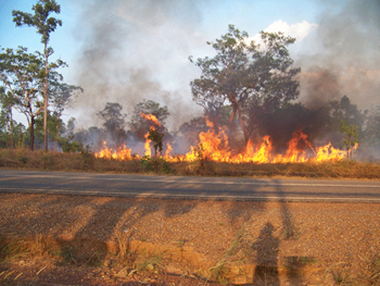 Uluru walk
-
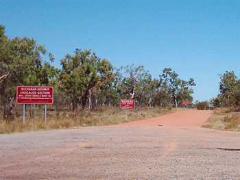 Buchanan Highway
-
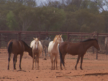 Buchanan Highway
-
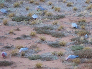 Buchanan Highway
-
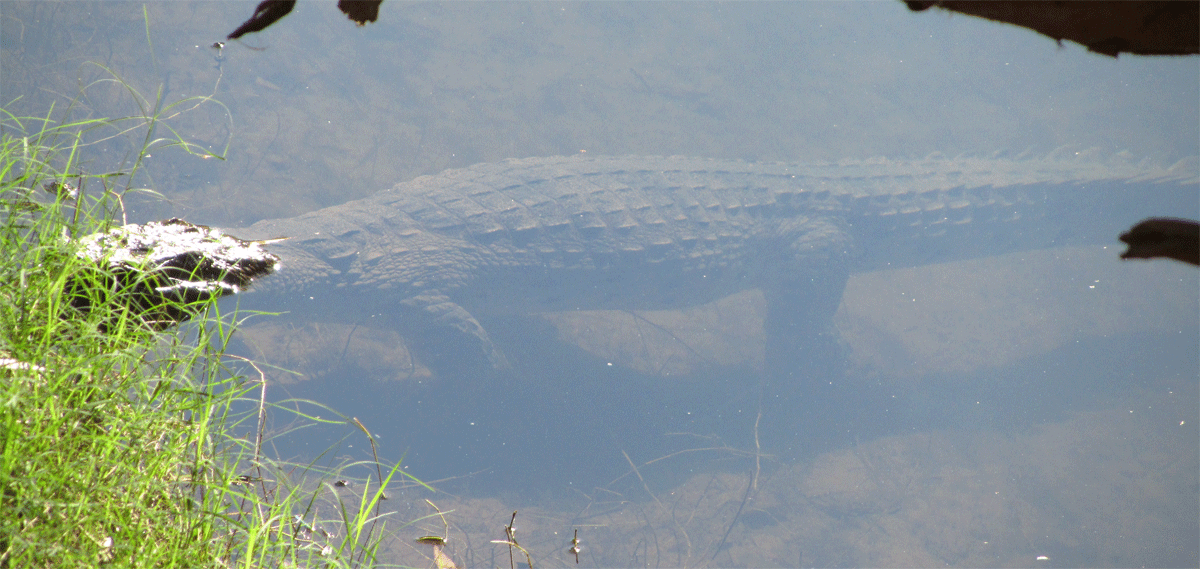

Australia 4 Wheel Drive RentalsAustralian 4 Wheel Drive Rentals your one stop shop for 4wd Cars and Wagons, 4wd's with tent gear, 4wd's with rooftop tents and side ground annexe | 4wd's and sleep internally.
Australian 4 Wheel Drive Rentals major suppliers have a large range of budget campervans to modern well appointed spacious automatic motorhomes from all states and territories.
Credits www.kimberleywesternaustralia.com
Credits www.australia4tours.com
Photo Credits Matt Hutchinson, Dianne from Singapore, Rob Berude.
Photo Credits Halls Creek, Kununurra, Broome, Australia Tourism Commission, Parks Australia
Get a instant quote now or email us or fill in a quote request
-
 4wd with tents
Great for Gibb River Road
4wd campers with roof/ground tent -
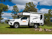 4wd campers
Great for Kakadu 4wd trips
4wd campers 2 sleep inside -
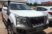 4wd car
4wd and stay at Safari camps
4wd cars unsleaded roads -
 Camper Hitops
2 to 4 Berth budget campervans
Campervan hire -
 Motorhomes
2 Berth toilet | shower | kitchen
Motorhome rentals -
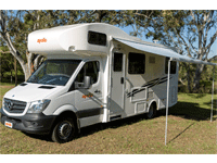 Motorhomes
4-6 Berth toilet | shower | kitchen
Motorhome rentals
-
 Key tourism destinations for 2wd driving in Australia
Best places to start these key Australian Destinations are
Melbourne along The Great Ocean Road to Adelaide or to Alice Springs
Sydney one way to Cairns, Brisbane, Adelaide, or Melbourne
Perth loop trip or to Broome then onto Darwin
Yes you can see the inner wilderness and coastline in a 2wd motorhome rental even if you have to keep to the sealed roads. A lot of major suppliers we book allow you can travel on a unsealed road up to 12 Klm to a commercial campground and major tourist attractions.
Best time to travel in Australia
Safety tips on driving along Australian roads
Recommended camper and motorhome supplies
Get a instant quote now | email us | fill in a quote request | call us
-
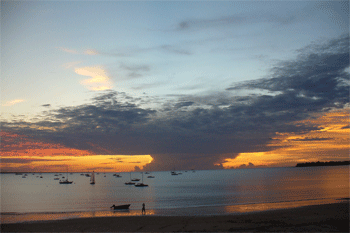 Start 4wd hire or campervan rental from Darwin
Start from Darwin Australia travel loop or one way plan
Start Darwin -
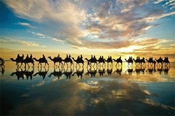 Start 4wd hire or campervan rental from Broome
Start from Broome and go one way to Perth or Darwin
Start Broome -
 Start from your camper hire or 4wd rental from Perth
Start Perth do loop or one way to Broome or Adelaide
Start Perth -
 Start from your 4wd camper hire from Alice Springs
Our campers or motorhome are only from Alice Springs
Start Alice Springs -
 Start from your camper hire or 4wd rentals from Cairns
Start from Cairns and travel south along the East Coast
Start Cairns -


Key tourism destinations for 2wd sealed road driving in AustraliaTravel Plan your next yearly holiday or vacation and start from Sydney, Melbourne, Hobart, Adelaide, Sydney or Brisbane and even Cairns. Travel one way in a self drive motorhome rentals across Australia at your own leisure and comfort. Cook what you want, stop when you want, even for that birding photo that you have to wait 20 minutes to snap. It's you holiday so if you don't want to part of a guide on a tight schedule and guided then the option is a motorhome hire and where else to search but here at Australia 4 Wheel Drive Rentals. Sure our name says 4wd rental hire but honestly we established so long ago and have built up a trusted brand we figured why change it.
Get a instant quote now | email us | fill in a quote request | call us

-

AUSTRALIA 4 WHEEL DRIVE RENTALSAustralia 4 Wheel Drive Rentals
Australian Business No. 54 561 356 425
Australia 4 Wheel Drive Rentals Group - Registered office: Reichardt Road, Winnellie, 0820 Darwin Australia
Website: https://www.australia4wheeldriverentals.com/
Telephone International: +61 8 7999 7511
Telephone within Australia Toll free: 1800 107 371
Telephone within Australia: 08 7999 7511
Email: [email protected]
Office Hours: Mon-Fri 9am-7pm EST | Sat-Sun 11am-3pm | All Public Holidays closed
Online and internet based specialists.
